

Project Information
- Research Themes: Exploration Methods
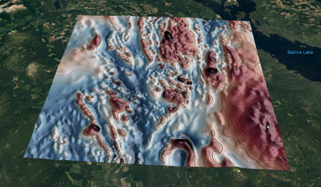
- Location: British Columbia, Canada
- Project Status: Active
- Researchers: Dominique Fournier
- Start Date: May, 2018
The MDRU-GIF Geophysical Toolkit for Geologists is a resource being developed to provide an easy entryway for geoscientists to explore magnetic and other geophysical data.
Visit toolkit.geosci.xyz
Magnetic data can provide great insight into geology at and below the Earth’s surface. Magnetic data is of particular use where geology is concealed by weathering or overburden, as this cover material is often magnetically ‘transparent’. The distribution of lithological units, and geologic structure can be interpreted, helping geoscientists piece together a more complete picture of the Earth’s subsurface.
Although there are a multitude of geophysical data analysis tools (both proprietary and free) available for use, they tend to be underutilized by exploration geologists who feel they lack knowledge of appropriate workflows, or lack the time required to understand the capabilities and reliability of the various software packages. Additionally, many young geologists will have had little exposure, experience and mentorship to analyse, integrate or interpret geophysical data. These skills are essential to improve geological maps and as a means to incorporate and integrate relevant geoscientific data for improved mineral exploration decision-making and success.
The aim of the MDRU-GIF Geophysical Toolkit is two-fold: to educate geoscientists on common geophysical tools used for magnetic data interpretation, and to provide quick and free access to some of these tools.
Examples of applications to be made available via the MDRU-GIF Geophysical Toolkit for Geologists:
- Data visualization
- 2D filters
- Edge detection
- Depth to source
- Fault dip modelling
The content and applications contained within the Geophysical Toolkit for Geologists were assembled as part of a project initiated between UBC’s Mineral Deposit Research Unit and Geophysical Inversion Facility. Magnetic data was focused on, due to the usefulness and common availability of this type of geophysical data. However, applications for analysis of other geophysical data types may be added in the future.
Visit toolkit.geosci.xyz